

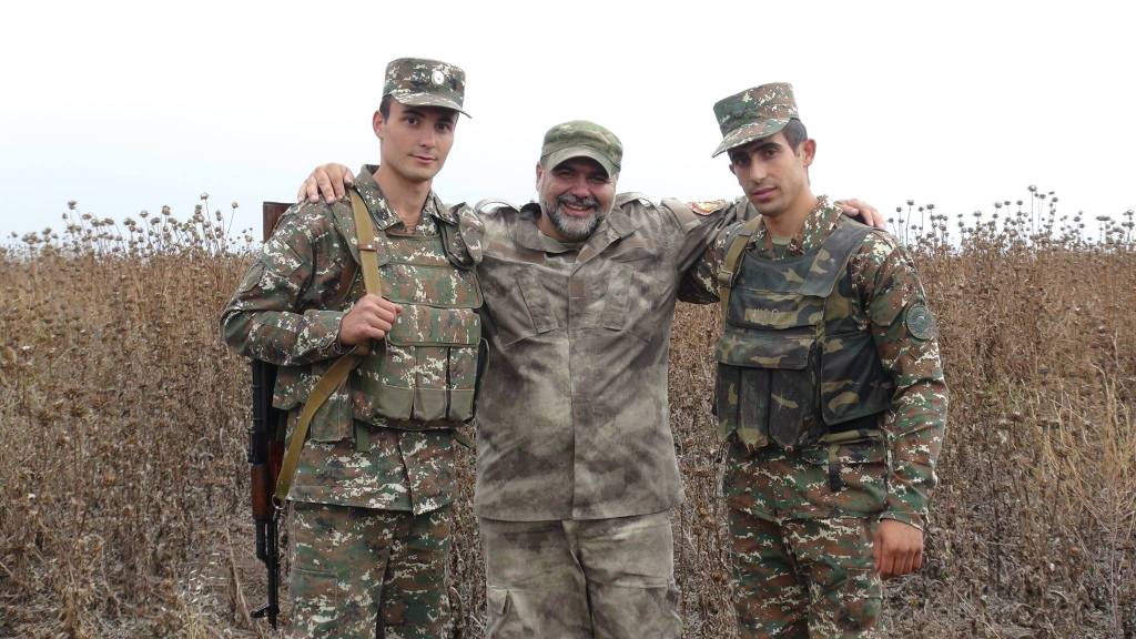
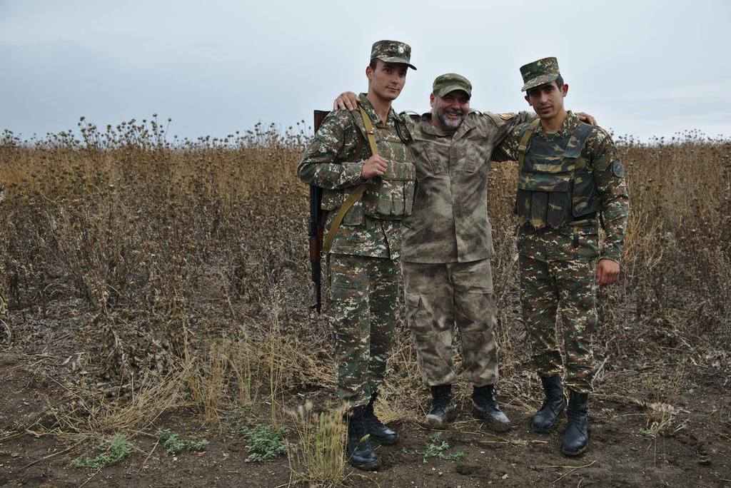
 Tweet
Tweet
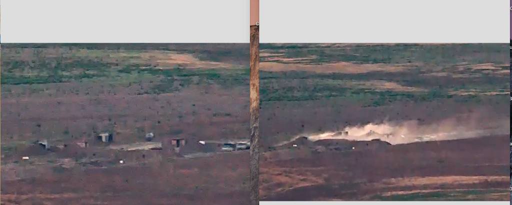
I saw their posting. It makes better sense on Google Earth when zoomed in.
Yellow line is "borders". The white line from inside Armenia on the left, is our troops road that goes to the middle of the first hill.
Instead of continuing to the top of the hill it goes done to the river into Areni.
The azeris took the top of that hill which Areni is fully exposed now and makes that road in the valley unless for our troops.


Comment